Development of a Web-Based Geospatial Data Visualization System
Data Science — 2025, Undergraduate
web applicationgeospatial datamapsvisualization
This study developed a web-based geospatial data visualization system that maps point data onto interactive maps with choropleth overlays and pop-up summaries. Users upload coordinates and metadata and filter by attributes. Adopting a client-server architecture and a survey-based usability evaluation, the system was built using Python, Flask, and Leaflet. The findings showed that the system made geospatial insights accessible without specialised GIS software, while achieving a high System Usability Scale score. The study recommends deployment for community and environmental monitoring.
Ad slot
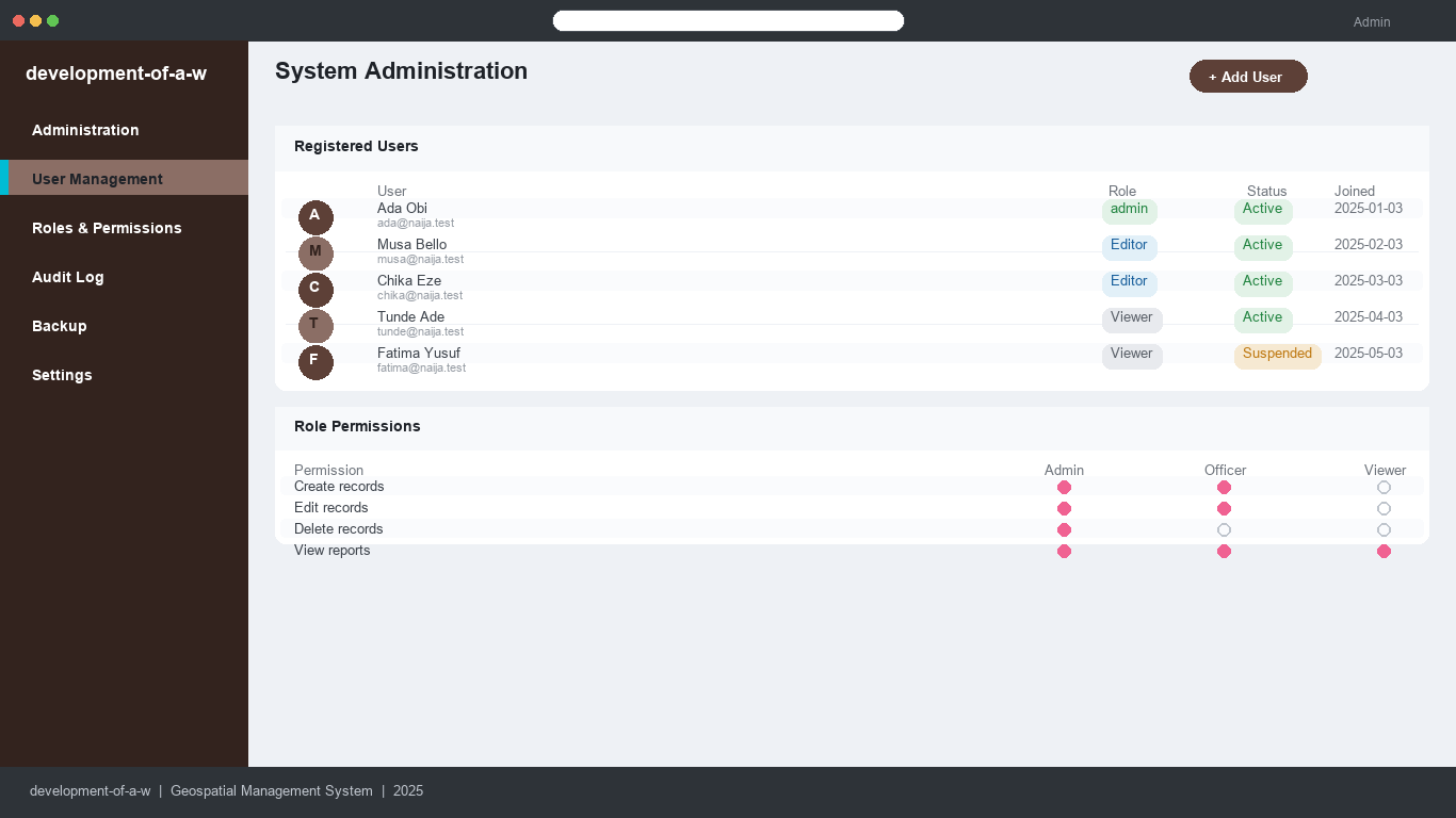
Homepage screenshot